
OSMAnd
A privacy-focused mobile app for offline maps, navigation, and route planning with OpenStreetMap data. Works completely without internet once maps are downloaded.
OSMAnd is an open-source alternative to:

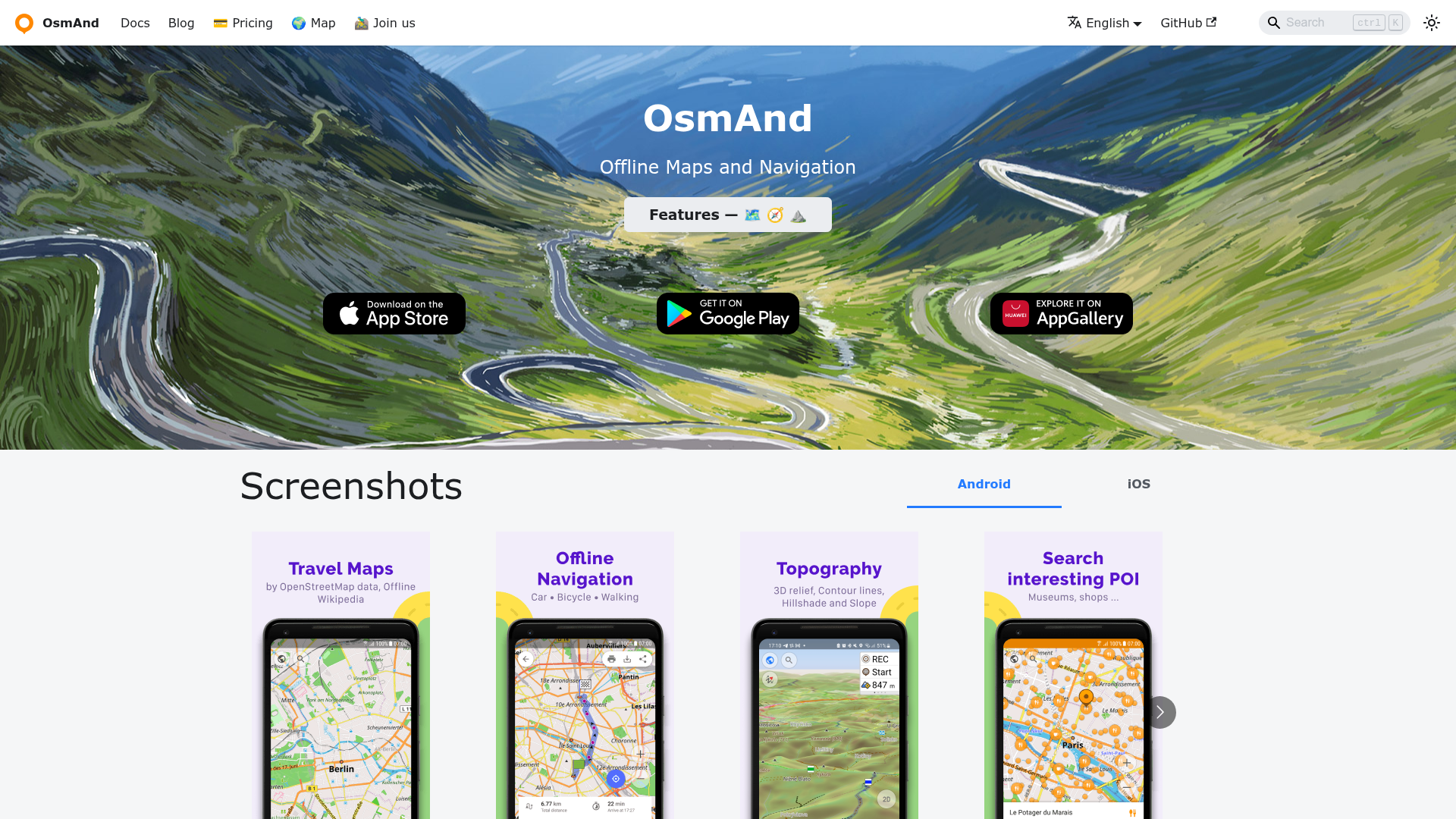
OsmAnd is a powerful offline navigation app that provides detailed maps and turn-by-turn guidance without requiring an internet connection. Built on OpenStreetMap data, it offers comprehensive map features including points of interest, hiking trails, and contour lines.
Key Features
- Offline Maps: Download and use highly detailed maps for any region worldwide without roaming charges
- Navigation: Turn-by-turn voice guidance with traffic warnings and automatic re-routing
- Multi-Modal Routing: Supports car, bicycle, pedestrian, and public transport navigation
- Points of Interest: Access Wikipedia POIs, restaurants, hotels, gas stations, and more
- GPX Support: Record, save, and share GPS tracks with customizable overlays
- Contour Lines & Hill Shading: Available via plugins for hiking and outdoor activities
- Regular Updates: Monthly map updates and hourly OsmAnd Live updates
- Privacy Focused: No data collection or tracking, fully offline operation
- Cross-Platform: Available on Android, iOS, and as a desktop editor
Tech / Self-Hosting
OsmAnd is primarily a mobile application with client-side map storage. While the core app is open source, the mobile clients are distributed through app stores. The desktop editor component is available for advanced map customization. Maps are sourced from OpenStreetMap and can be self-hosted for custom deployments.