3 Best Open Source Apple Maps Alternatives
A curated collection of the 3 best open source and self-hosted alternatives to Apple Maps in 2026.
Looking for a free, privacy-friendly, or self-hosted replacement for Apple Maps in 2026? The top open-source alternative is Organic Maps — Privacy-focused offline maps for travelers.
Other highly rated open-source Apple Maps alternatives include OSMAnd and CoMaps.

Privacy-focused offline maps for travelers
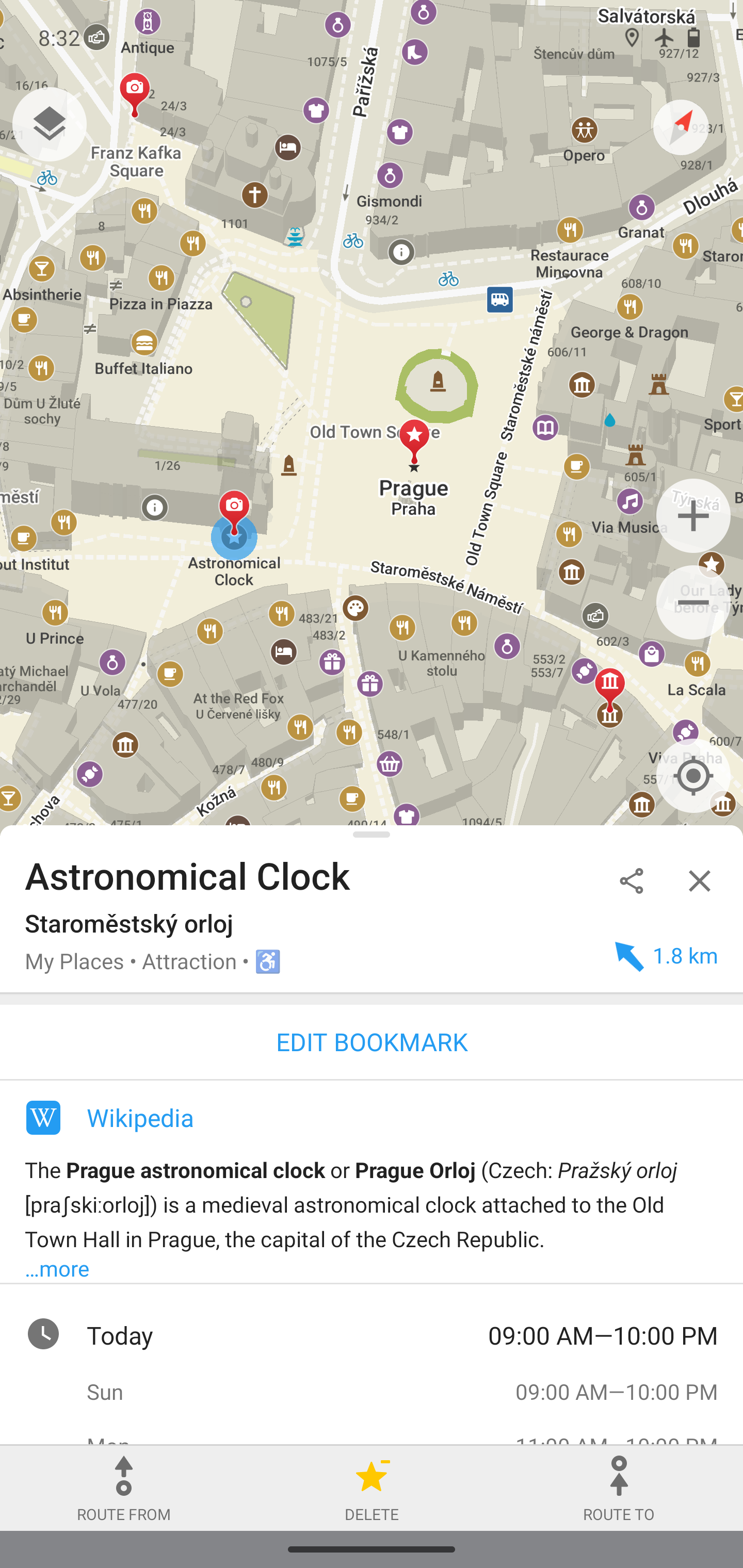
Organic Maps is a free, open-source, privacy-focused offline maps and GPS navigation app designed for travelers, hikers, cyclists, and drivers. Developed by the original MapsWithMe/Maps.Me team, it offers detailed offline maps with features like turn-by-turn navigation, hiking trails, contour lines, and Wikipedia integration—all without requiring an internet connection. - 100% offline functionality: Download maps and use all features without internet access - Detailed offline maps: Includes places missing from other maps, powered by OpenStreetMap - Navigation for all modes: Turn-by-turn walking, cycling, driving with voice guidance and CarPlay/Android Auto support - Hiking & cycling features: Contour lines, elevation profiles, peaks, slopes, and dedicated trails - Fast offline search: Quickly find locations on downloaded maps - Cross-platform bookmarks: Import/export in KML/KMZ, GPX, and GeoJSON formats - Dark Mode: Protects eyes during night navigation - Wikipedia integration: Access articles for popular places - Lightweight: Countries and regions consume minimal storage space - Privacy-first: No ads, tracking, data collection, or mandatory registration Organic Maps is designed to be pure and organic: - Respects user privacy completely - Optimizes battery usage - Prevents unexpected mobile data charges - Free from trackers and malicious software - Verified by Exodus Privacy Project The app is available on multiple platforms including iOS, Android, and F-Droid, with no forced tutorials or push notifications. Organic Maps is a fully client-side application that: - Uses OpenStreetMap data for all map content - Operates entirely offline after initial map download - Supports self-hosting of map data (advanced users) - Available as open-source software under GPLv3 license - No backend servers required for core functionality

Offline mobile maps and navigation
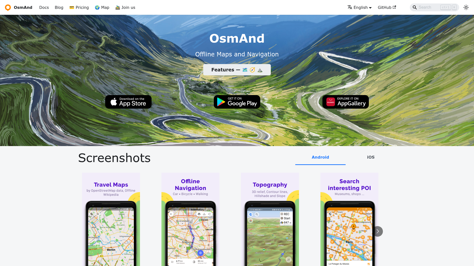
OsmAnd is a powerful offline navigation app that provides detailed maps and turn-by-turn guidance without requiring an internet connection. Built on OpenStreetMap data, it offers comprehensive map features including points of interest, hiking trails, and contour lines. - Offline Maps: Download and use highly detailed maps for any region worldwide without roaming charges - Navigation: Turn-by-turn voice guidance with traffic warnings and automatic re-routing - Multi-Modal Routing: Supports car, bicycle, pedestrian, and public transport navigation - Points of Interest: Access Wikipedia POIs, restaurants, hotels, gas stations, and more - GPX Support: Record, save, and share GPS tracks with customizable overlays - Contour Lines & Hill Shading: Available via plugins for hiking and outdoor activities - Regular Updates: Monthly map updates and hourly OsmAnd Live updates - Privacy Focused: No data collection or tracking, fully offline operation - Cross-Platform: Available on Android, iOS, and as a desktop editor OsmAnd is primarily a mobile application with client-side map storage. While the core app is open source, the mobile clients are distributed through app stores. The desktop editor component is available for advanced map customization. Maps are sourced from OpenStreetMap and can be self-hosted for custom deployments.

Privacy-first offline navigation app
CoMaps is a privacy-focused navigation app built as a community-led fork of Organic Maps. It provides offline maps, routing, and navigation without tracking or ads, ensuring full transparency and user control. - Offline-first navigation: Download maps for offline use on Android, iOS, Linux, macOS, and Windows - Privacy by design: No tracking, ads, or data collection; fully GDPR compliant - Community-driven: Open-source development with transparent governance - OpenStreetMap-based: Uses crowd-sourced map data for accurate, up-to-date information - Multi-platform support: Available on mobile and desktop devices - Non-profit & ethical: Committed to being not-for-profit and community-focused - Open Source: Fully open-source under AGPL-3.0 license - Self-hostable: Can be self-hosted via Codeberg repository - Tech Stack: Primarily C++, Java, Swift, and Vulkan for rendering - Deployment: Available as native apps on all major platforms
About Apple Maps
Apple Maps is a privacy-focused navigation and mapping service developed by Apple, offering turn-by-turn navigation, real-time traffic updates, and seamless integration across Apple devices.
Key Features of Apple Maps
- Turn-by-turn navigation with voice guidance
- Real-time traffic updates and alternative route suggestions
- Flyover mode for 3D city views
- Look Around feature for street-level imagery
- Privacy-first approach with minimal data collection
- Seamless Apple ecosystem integration (iPhone, iPad, Mac, Apple Watch)
- Offline maps for areas without internet access
- Transit directions for public transportation
- Indoor maps for airports and malls
- Siri voice commands for hands-free navigation
Tech / Self-Hosting
Apple Maps is a proprietary service provided by Apple and is not available for self-hosting. It is pre-installed on all Apple devices and requires an internet connection for most features.